


ServicesOne capture. Every deliverable your project needs.
We measure existing buildings and turn that measurement into whatever your team works from — drawings, models, area data, a navigable walkthrough. The survey happens once; the outputs come from it.
Start here
Existing conditions surveys — the whole thing end to end: capture, drawings and models of a building as it stands. If you are not sure which service you need, read this one first.
Capture
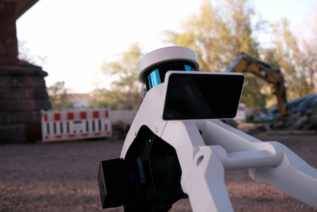
3D laser scanning — terrestrial scanning, mobile mapping and drone capture. Millimeter-accurate where it matters, fast where it does not.
Drone surveys — roofs, facades and sites a tripod cannot reach.
Documentation
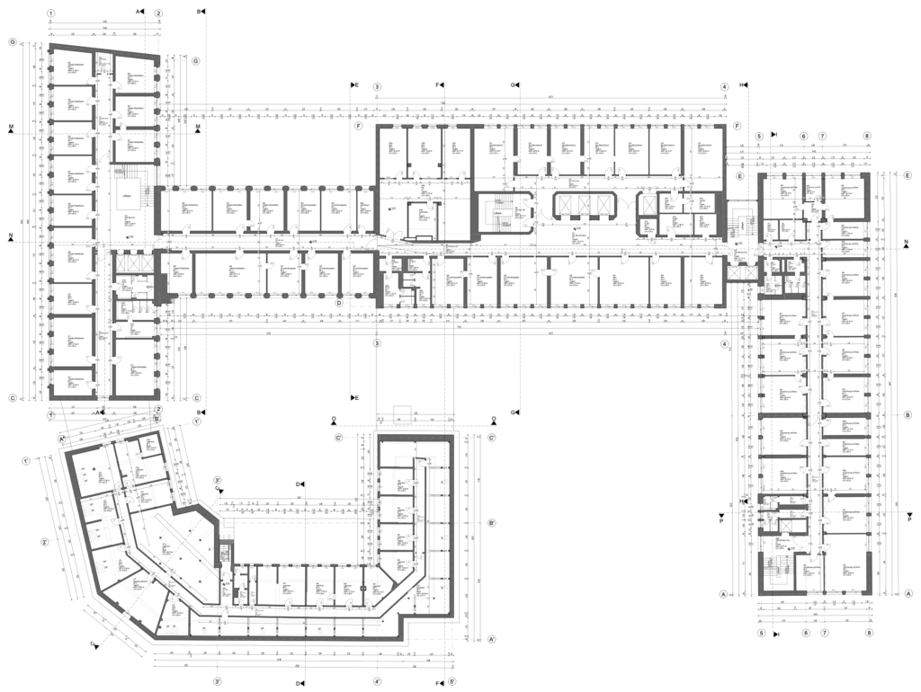
As-built surveys and drawings — floor plans, elevations, sections and reflected ceiling plans in DWG and DXF, drawn to your standard.
Scan to BIM — as-built Revit models built against the point cloud, at the level of development your project needs.
Operation
Facility management data — vendor-neutral space and asset records your FM system can import.
Virtual tours and digital twins — a navigable record of the building on the day we captured it.
Specialist
Deformation monitoring — how far a structure has moved, and whether it is still moving.
How every project runs
-
Scope
What has to be measured, to what accuracy, in which formats. Ten minutes here decides most of the price.
-
Capture
Method chosen per area — terrestrial, mobile, aerial, or a combination.
-
Verify
Registration checked before anything is drawn.
-
Produce
Drawings and models to your standard, reviewed by a second pair of eyes.
-
Hand over
Deliverables plus the registered point cloud, always.
Which one you need, in one table
Most projects start with the first row. The others matter once you already know which single output you are missing.
| If this is your situation | Start here | What you end up with |
|---|---|---|
| There is a building and the drawings cannot be trusted | Existing conditions surveys | Capture, drawings and models from one survey. |
| You need the measurement itself, not an interpretation of it | 3D laser scanning | Registered point cloud in E57 and RCP, plus the registration report. |
| Your team works in 2D and needs sheets to design on | As-built surveys and drawings | Plans, elevations, sections and RCPs in DWG and DXF, to your standard. |
| The project is coordinated in Revit | Scan to BIM | As-built model at LOD 200 to 350, plus IFC where required. |
| The part you need is on the roof or out of reach | Drone surveys | Roof and site plans, orthomosaic, volumes, registered with the ground survey. |
| A system needs space and asset records, not drawings | Facility management data | Room schedule with measured areas, vendor-neutral floor plans, asset records. |
| People need to see the building and will not open CAD | Virtual tours and digital twins | Navigable record of the capture date, in a browser. |
| Something has cracked, settled or leaned | Deformation monitoring | Deviation against datum or against a previous epoch, with the method record. |
Still unsure? Describe the building and what you are trying to do with the data. Choosing correctly is worth more than any discount, and rates for all of it are on the pricing page.
Frequently asked questions
Which service do I actually need?
If you are documenting a building to design against, start with an existing conditions survey — it covers capture through drawings. The individual service pages matter once you already know you need one specific output.
Can I order drawings without a scan?
Not meaningfully. The drawings are produced from measurement; without a survey we would be redrawing an existing document, which tells you nothing you did not already have.
Do you work nationwide?
Yes, from bases in Austin and New York. For portfolio programs we mobilize from whichever is closer to each site.
How quickly can you start?
Typically one to two weeks to mobilize. Controlled airspace and secure facilities add lead time on permissions rather than on the survey itself.
Not sure where to start?
Describe the building and what you need to do with the data.