


Existing conditions surveysKnow exactly what you are building into.
We measure existing buildings with terrestrial laser scanning, mobile mapping and drone surveys, and deliver the drawings and models your team can design against — floor plans, elevations, sections, reflected ceiling plans and Revit models, from a single capture.
What an existing conditions survey is
A measured record of a building as it stands today — not as it was designed, and not as the record set claims. It captures geometry, structure and visible building services, and turns them into documents that architects, engineers and facility teams can plan against.
The distinction matters more than it sounds. A design drawing is an intention. A survey is evidence. On any building older than its second fit-out, the two have quietly diverged.
What you receive
A survey is only useful if it arrives in the format your team already works in. We deliver native files, not screenshots of them.
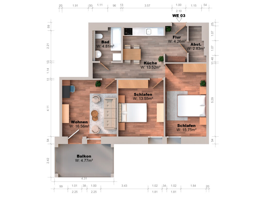
- 2D as-built drawings — plans, elevations, sections, RCPs. DWG and DXF.
- Revit models — as-built BIM at the level of development your project needs. RVT and IFC.
- Registered point cloud — the survey itself, so any dimension can be verified later. E57 and RCP.
- Virtual walkthrough — a navigable record of the site on the day of capture.
- Area and room data where the project needs it for leasing or FM.
How a survey runs
-
Scope
What has to be measured, to what accuracy, in which formats — agreed before anyone is on site.
-
Capture
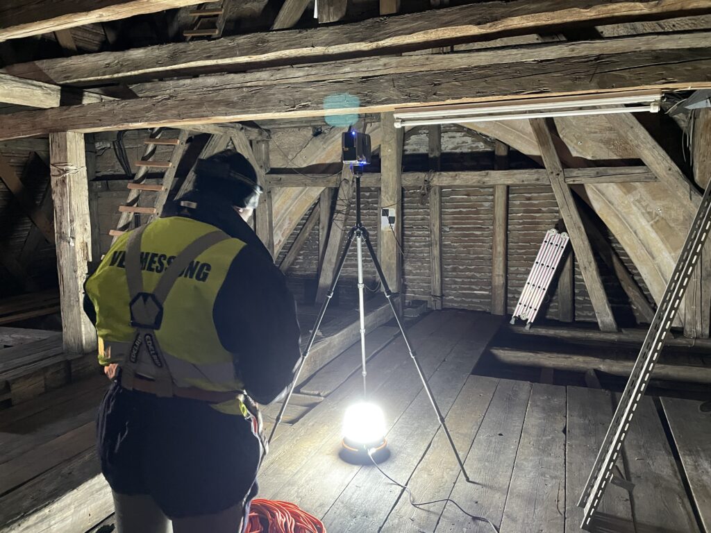
Terrestrial scanning for millimeter-accurate detail, mobile mapping for large floor areas, drone for roofs and facades.
-
Register and verify
Scans tied into one coordinate system and checked against each other. Nothing is modeled from an unverified cloud.
-
Draw and model
Produced to your standard, then reviewed by someone who did not produce it.
Where it is used
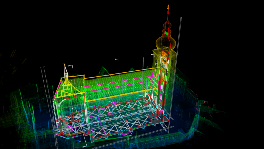
Renovation and adaptive reuse · tenant fit-out · due diligence before acquisition · facility and space management · historic and landmark documentation · coordination on sites where the original drawings no longer match the building.
The projects that suit us best are the ones where being wrong is expensive: occupied buildings, tight tolerances, and structures nobody has a reliable drawing of.
Accuracy and throughput, by method
Most surveys use two of these, some use all three. Which method covers which area is decided per building, and it is the decision that moves both the price and the tolerance you can rely on.
| Method | Accuracy | Throughput | Right for | Wrong for |
|---|---|---|---|---|
| Terrestrial, Faro Focus | Millimeter-accurate. Deviation held under 0.4 in across a registered project. | 32,000 to 65,000 sq ft per day in offices. Considerably less in plant rooms. | Structure, risers, mechanical rooms, facades, anything a tolerance gets built against. | Large open floor area where nothing will be detailed. |
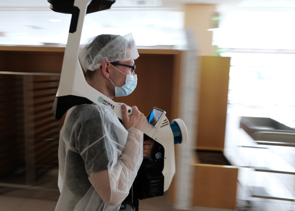
| Mobile mapping, NavVis VLX | Dimensionally accurate rather than millimeter-accurate. | Up to 107,000 sq ft per day in open industrial space. | Circulation, warehouses, portfolio documentation, area take-off. | Steel connections, tight fit-out tolerances, movement over time. |
| Drone, DJI with GNSS control | Dimensionally accurate against ground control. | Roof and facades of a mid-rise inside one flight window. | Roofs, upper facades, sites, stockpiles. | Interiors, ceiling voids, white membrane roofs without a ground scan. |
We record which method covered which area and hand that record over with the survey. Where the brief specifies a USIBD Level of Accuracy, the same record is what it is checked against.
What changes with the building type
Method mix, access plan and deliverable set are not the same across building types. These four cover most of what we are asked for.
Office and tenant fit-out
Floor plates go quickly, cores and risers do not. A typical floor is terrestrial through the core and mobile mapping across the open area, which holds the price down without losing the dimensions anyone will build against. Ceilings decide the number: a space plan does not need the void, a mechanical retrofit does, and lifting tiles adds 20% to 40%. Occupied floors are the normal case rather than the exception.
Hospitals and laboratories
Dense services, restricted rooms, and no tolerance for a wrong dimension in a plant room. Access is the constraint rather than area: imaging suites, clean rooms and pharmacy are scheduled around clinical use, often in short night windows. Capture is terrestrial almost throughout, because a services model is usually the point of the exercise. Escort and infection control requirements belong in the brief, not in a surprise on the first morning.
Industrial plant and manufacturing
Pipework blocks the laser. A plant room a tenth the size of a warehouse can need more setups than the warehouse does, and that occlusion, not area, is what drives time and cost. Production schedules decide when a line is reachable at all, so capture is planned around shutdowns and shift changes. We say up front which areas will stay partly occluded, because no amount of scanning sees through a full pipe rack.
Pre-war and landmarked stock
Nothing is square and the record set is missing, wrong, or both. On buildings of this age we routinely find floor-to-floor dimensions several inches off the drawings, which is enough to stop a new stair or shaft from landing. Ornament and vaulting are captured at full resolution where they are being altered and at survey resolution where they are not. Where a facade or interior is protected, the registered point cloud is frequently the deliverable itself: a dated record of condition.
What goes wrong, and what we do about it
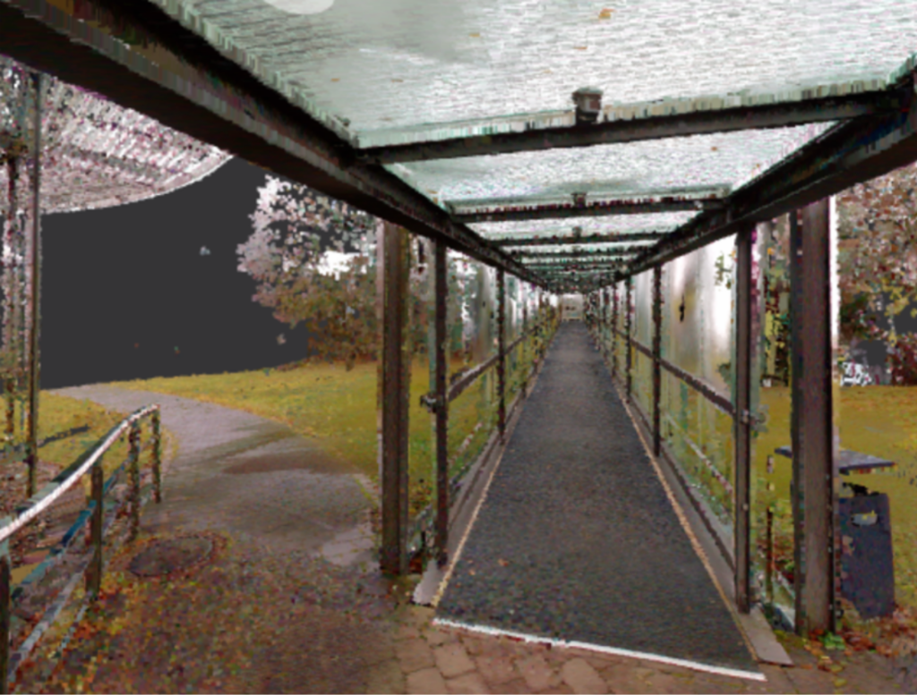
- Glass and mirrors. A laser passes through glazing and reflects off a mirror, so both produce points that are not where the surface is. Glazed openings are captured from both sides where access allows, and reflective surfaces are marked during capture rather than left for the modeler to guess at.
- Ceiling voids. Nothing above a tile is measured unless the tile comes out. That is a scope decision with a price attached, and it is the most common reason a client is disappointed by an otherwise good survey.
- Rooms nobody can open. Electrical rooms, tenant storage, anything needing an escort. Unreached rooms are listed by name in the handover, so a gap stays visible instead of being quietly interpolated.
- Long featureless corridors. Mobile mapping computes its own position, and a corridor with nothing to lock onto is where that computation drifts. Runs like these are tied back to terrestrial control instead of trusted on their own.
- Things that move. Forklifts, doors, people, and stock that sits somewhere else on day two. Moving objects come out in registration; stock that has to be documented in place is captured in one pass rather than across two visits.
When another service fits better
An existing conditions survey covers the whole path from capture to drawings. Sometimes the right answer is narrower, or different.
- A model and nothing else: scan to BIM, worked from our capture or from one you already have.
- A navigable record for people who will not open a CAD file: a virtual tour, delivered alongside the survey or on its own.
- Whether a structure is still moving: deformation monitoring. It needs stable control from the first visit and cannot be reconstructed afterwards.
- Space and asset records for an operating system: facility management data. Same capture, different output.
- Boundaries, easements and topography: a licensed land surveyor. We document the building, not the parcel, and we say so rather than take the work.
Frequently asked questions
What is an existing conditions survey?
A measured record of a building as it stands today, delivered as drawings and models. It documents what is there rather than what was intended.
What file formats do you deliver?
DWG and DXF for 2D drawings, RVT for Revit models, IFC where a vendor-neutral model is required, E57 or RCP for the point cloud. If your office works to a specific drawing standard, we produce to it rather than to ours.
How accurate is it?
Terrestrial laser scanning is millimeter-accurate; in our own point cloud comparison we hold deviation under 0.4 inches across a registered project. Mobile mapping is dimensionally accurate rather than millimeter-accurate — it trades precision for the ability to cover very large floor areas quickly. We choose per project and tell you which method produced which part of the deliverable. Where a brief specifies a USIBD Level of Accuracy, we confirm in writing which level applies to which area before mobilizing.
How long does a scan take?
On open industrial and logistics floor area we capture up to 107,000 sq ft per day. A typical office building runs 32,000–65,000 sq ft per day, because there are more rooms, doors and setups. Processing and drafting depend on the deliverable, not on the scan.
Is this the same as a Matterport scan?
No. A Matterport tour is a visual walkthrough — useful for showing a space, not for measuring it. A laser scan produces survey-grade geometry that drawings and BIM models can be built from. We can deliver a walkthrough alongside the survey, but it is not a substitute for one.
What does it cost?
Point cloud plus 2D drawings runs $0.14–$0.36 per square foot combined, with a $2,500 minimum. Full ranges and typical project totals are on the pricing page — we publish them so you do not have to book a call to find out whether we fit your budget.
Tell us about the building
Type, rough size, and what you need the data for. We will come back with the method and the deliverables that fit.
Our deliverables document existing physical conditions. They are not a boundary survey, a land title survey, or an ALTA/NSPS Land Title Survey, and they are not to be used in lieu of a survey prepared by a land surveyor licensed in the state where the property is located. Where a project requires boundary, topographic, or georeferenced survey data, we work from control provided by your licensed surveyor.