


Drone surveysThe parts a tripod cannot reach.
Roofs, upper facades, large sites — and anything where getting a person up there is the expensive part. Captured from the air, registered into the same coordinate system as everything we measured from the ground by terrestrial laser scanning.
Where it earns its place
- Roofs. Condition survey, plant layout, area take-off — without a lift or a safety plan for walking a membrane.
- Facades. Upper storeys captured straight on, rather than measured from the ground at sixty degrees. That angle is where facade dimensions usually go wrong, and where an exterior elevation quietly stops being true.
- Sites and stockpiles. Topography and volumes across areas where terrestrial scanning would take days.
- Progress documentation. The same flight path repeated, so two dates are genuinely comparable rather than roughly similar.
Registered, not just photographed
Aerial capture that is not tied to ground control produces a model that looks right and measures wrong. It is the most common failure in drone surveying, and it is invisible until someone builds against it.
We set control on the ground and register the flight against it, so the roof sits above the floor plan in the correct place and an elevation cut through the facade is dimensionally consistent with the interior survey.
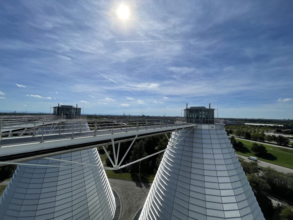
Where the surface is featureless or reflective — a white membrane roof, a glazed curtain wall — we scan from the ground as well. Photogrammetry needs visual texture to work and fails quietly without it.
What accuracy means from the air
Aerial capture is photogrammetry: geometry is calculated from overlapping images rather than measured directly. That distinction decides what the result can be used for, and it is worth being explicit about before anyone builds against a roof plan.
| Setup | What you get | Where it breaks |
|---|---|---|
| Flown against ground control | Dimensionally accurate, sitting in the same coordinate system as the interior survey. The roof lands above the floor plan in the right place. | Nothing that needs millimeter tolerance. Use terrestrial laser scanning for that. |
| Flown without control | A model that looks correct and carries a scale error nobody sees until it is built against. | Everything measurable. We do not deliver it, and it is the most common failure in this part of the industry. |
| Flown over featureless surface | Thin or absent geometry: white membrane, standing water, fresh glazing. | Roof plans on new membrane. These areas are scanned from the ground as well. |
Where a brief specifies a USIBD Level of Accuracy, aerial coverage is stated separately from terrestrial coverage. Averaging the two into one figure would be convenient and wrong.
How a flight is planned
-
Address check, day one
Airspace class, obstacles and what sits under the flight path. This decides whether the project is a scheduling question or a permissions question.
-
Authorization, 1 to 3 weeks
Where the site sits in controlled airspace. Uncontrolled airspace is usually straightforward. This step runs in parallel with everything else, which is why we ask for the address early.
-
Ground control, half a day
Control points set and measured on the ground before the first flight. Without them the model has no scale it can prove.
-
Flight, one weather window
Roof and facades of a mid-rise inside a single window. Repeat missions are stored so a later flight covers exactly the same path.
-
Registration and output, 2 to 5 days
Aerial data registered into the same coordinate system as the ground survey, then roof and site plans in DWG, orthomosaic, and volumes where relevant.
What has to be cleared before we fly
The survey itself is a morning. Getting permission to take off can be three weeks. These are the items that decide the date, and all of them start with an address.
- Airspace. In controlled airspace an authorization is required before the flight. This is regularly the longest lead time on the whole project, and it is the first thing we check once we know where the building is.
- What is underneath. Flight paths are planned so the drone is never above people. On an occupied site that usually means early morning or a weekend, and occasionally a short closure of one yard or entrance.
- Site consent. Neighbouring owners, building management and, on secure sites, a briefing before anyone unpacks. Getting this wrong stops a flight faster than weather does.
- Insurance evidence. Certificates go out ahead of mobilization rather than at the gate. Most commercial sites ask for them, so we send them unprompted.
- Weather window. Wind and precipitation stop flights. Overcast is ideal, because hard shadows cost more in image matching than flat light does. We schedule a window rather than a single date.
Where drone work goes wrong
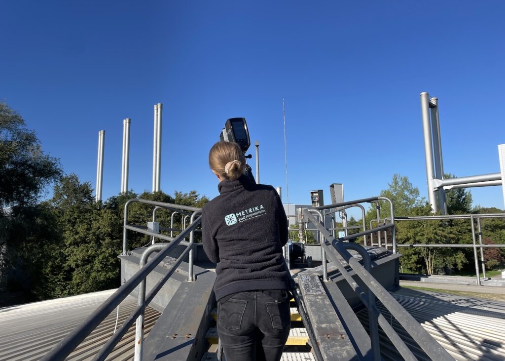
- No ground control. The one failure that survives into the deliverable unnoticed. Everything we fly is registered against control set on the ground.
- Reflective and uniform roofs. White single-ply membrane and standing water give image matching nothing to hold onto. These areas get a terrestrial pass rather than a second flight.
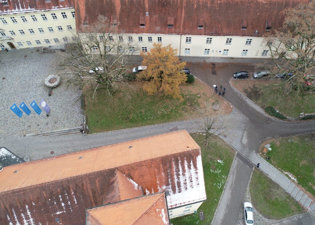
- Facades measured at an angle. Shooting a tall elevation from the ground at sixty degrees is where facade dimensions quietly go wrong. Flying the face straight on is the point of the exercise.
- Glass. A curtain wall reflects the sky, so the model shows sky where the wall is. Glazed elevations are cross-checked against a ground scan.
- Two dates treated as one. Progress documentation only compares if the flight path repeats. We store the mission and repeat it rather than flying by eye each visit.
When flying is not the answer
- Anything indoors or under a ceiling: terrestrial laser scanning. A drone has no advantage inside a building and several disadvantages.
- Boundaries, easements, topographic survey for permit: a licensed land surveyor. We measure structures, not parcels.
- A roof that can be walked safely and is under 10,000 sq ft: often a tripod and two hours, without an airspace conversation.
- A visual record for people who will not open CAD: a virtual tour costs less and answers that better.
On most projects the flight is one part of an existing conditions survey rather than the whole job. Rates for both are on the pricing page.
Frequently asked questions
How large a site can you cover?
Site size is rarely the constraint — airspace and battery logistics are. Multi-hundred-acre sites are routine with a planned flight sequence.
Can you combine drone and interior scanning?
That is the normal case. Most buildings get flown for the roof and facade and scanned from the ground inside, registered into one coordinate system. That combination is the normal shape of an existing conditions survey.
Do you carry insurance?
Yes, and we can provide certificates ahead of mobilization. Most commercial sites ask, and it is easier to have it ready.
Do you need permission to fly?
In controlled airspace, yes — and it is frequently the longest lead time on the whole project. Give us the address early and we will establish what applies before anything else gets scheduled. In uncontrolled airspace it is usually straightforward.
Can you fly over an occupied building?
Over the structure, generally yes. Over people, no. Flight paths are planned so the drone is never above anyone, which occasionally means working early morning or at a weekend.
Is drone data as accurate as laser scanning?
No, and it is not meant to be. It is dimensionally accurate over large areas where terrestrial scanning is impractical. Where tolerances matter we scan from the ground and use the flight for what it is genuinely good at.
What about weather?
Wind and precipitation stop flights. Overcast is actually ideal — hard shadows hurt photogrammetry more than flat light does. We build a weather window into scheduling rather than promising a single date and hoping.
What do we receive?
Registered point cloud, orthomosaic, roof and site plans in DWG, and volume calculations where relevant.
Roof, facade or site?
Tell us the address and what you need measured. We will check the airspace before we quote. Rates are on the pricing page.
Our deliverables document existing physical conditions. They are not a boundary survey, a land title survey, or an ALTA/NSPS Land Title Survey, and they are not to be used in lieu of a survey prepared by a land surveyor licensed in the state where the property is located. Where a project requires boundary, topographic, or georeferenced survey data, we work from control provided by your licensed surveyor.
All flights are conducted under 14 CFR Part 107 by FAA-certificated remote pilots, with registered aircraft broadcasting Remote ID. Aerial capture of privately owned real property in Texas is performed with the written consent of the owner or lawful occupant. Take-off and landing inside New York City require an NYPD Unmanned Aircraft permit, which we apply for at least 30 days before the flight.